Main/Products/Unmanned aircraft systems/Multirotor UAVs/A-9X GEO UNMANNED AIRCRAFT

A-9X GEO UNMANNED AIRCRAFT

The A9-X GEO unmanned aerial  system is designed for aerial photography and georeferenced photography in the visible (RGB) range, using a high resolution camera and measuring GNSS equipment.
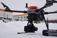
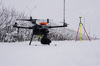
The advantages of using the A-9X GEO in surveying:
  • Possibility to conduct narrowly focused and complex surveys of various objects;
  • Possibility to survey objects that are difficult to access or hazardous (harmful) to humans - all industrial objects are potentially hazardous to humans;
  • Reduction of financial costs for creating topographic maps and terrain models in comparison to conventional methods;
  • Possibility to assess the scope of works and control their implementation.

The main missions that could be accomplished with the A-9X GEO UAV are:
operational mapping;
  • topographic survey of facilities for reconstruction and construction during engineering surveys;
  • survey of overhead power line routes;
  • environmental monitoring of built-up areas, industrial zones, agricultural land;
  • control of executed works on the objects under construction;
  • inspection of the above-ground part of main gas pipelines, etc.

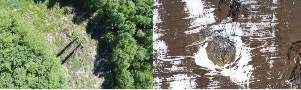
Examples of outputs

Primary data from UAV and its payloads, high accuracy satellite navigation and geodetic equipment:

для сайтв.png

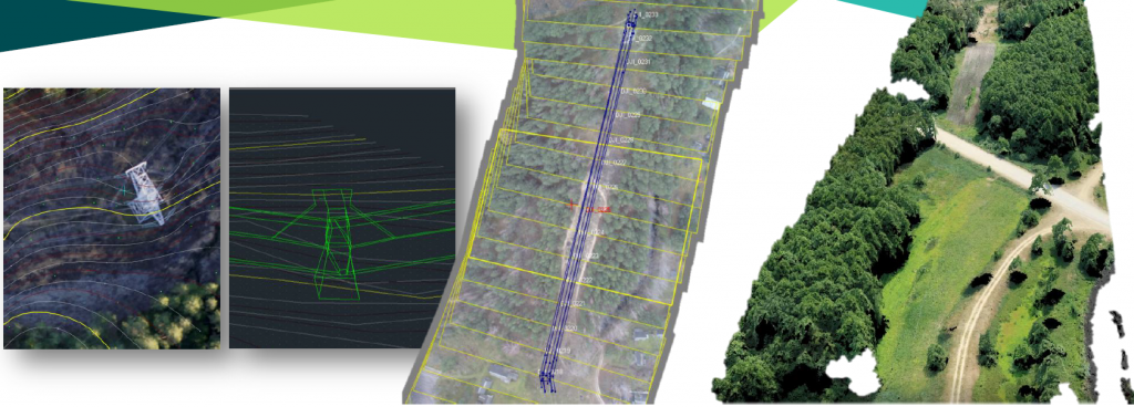
Combining data from different types of surveys, creating orthophotomaps, 3D models of surveyed objects, defining the main parameters of surveyed objects:

для сайта 2.png
    Composition of the UAC:

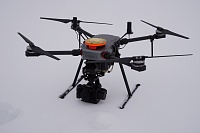
Unmanned Aerial Vehicle (UAV) multirotor type.

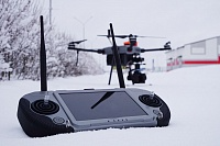
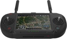
Ground control station (GCS).

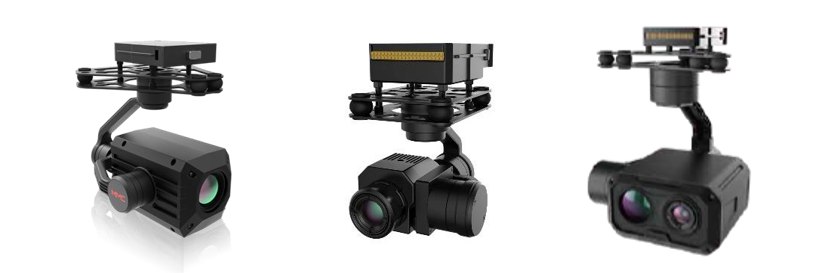
Gyrostabilised payloads.

Ground based maintenance equipment.

Flight modes:  
  • manual control
  • semi-automatic control
  • automatic control
      Ground control station

photo5474304941582562503.jpg

Tactical and technical characteristics 

UAV Size

850´450´270 mm 

Max. radio communication range

5-8 km

Max. Take-off Weight

 9 kg

Payload

2,5 kg

Wind limit

 12 m/s

Max. Speed

45 km/h

Climb rate

5 m/s

Max. height

5000 m

Endurance

50 min

Motor

 Electric

Tale-off/ Landing

 Vertical

Mission payload

 High resolution camera, GNSS equipment


Payloads:

photo5206698968321471701.jpg

Back

loading map...
instagram: aerotexsys
linkedin: Aviation Technologies and Systems
facebook: Aviation Technologies and Systems